
Tag: overlay
-
How Do You Overlay Property Lines, Parcel Data, And Coordinates On One Map?
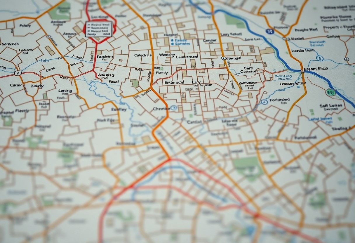
You can effectively overlay property lines, parcel data, and coordinates on one map to enhance your understanding of land boundaries and ownership. By utilizing mapping software and geographic information system (GIS) tools, you can combine various data layers for a comprehensive view. This process allows you to visualize the relationships between different properties, assess land Read more