
Tag: Mapping
-
Why Is Checking Similar Polygons In A Parcel Map Important For Planning?

Mapping similar polygons in a parcel map is vital for effective land-use planning. By understanding the characteristics and layout of these polygons, you can make informed decisions about zoning, resource allocation, and development potential. Ensuring compatibility in size and shape among parcels allows you to optimize space management and promote cohesive planning initiatives. This process Read more
-
How To Read A Cadastral Mapping System Like A Pro
Most people struggle to interpret cadastral mapping systems effectively, which can make understanding property boundaries and land use confusing. This guide will empower you to navigate these complex systems confidently, ensuring you grasp the imperative elements and key features of cadastral maps. By mastering the techniques outlined here, you’ll be equipped to analyze maps accurately Read more
-
Cadastral Mapping Explained – How To Find Accurate Boundary Information
Many property owners and developers often struggle to locate precise boundary information. Cadastral mapping provides a systematic approach to understanding the dimensions and limits of your land. In this guide, you will learn how to navigate various resources and tools to access accurate cadastral maps, ensuring that you have the necessary information for your projects Read more
-
How Can GIS Mapping Tools Assist In Understanding Property Lines In North Carolina?
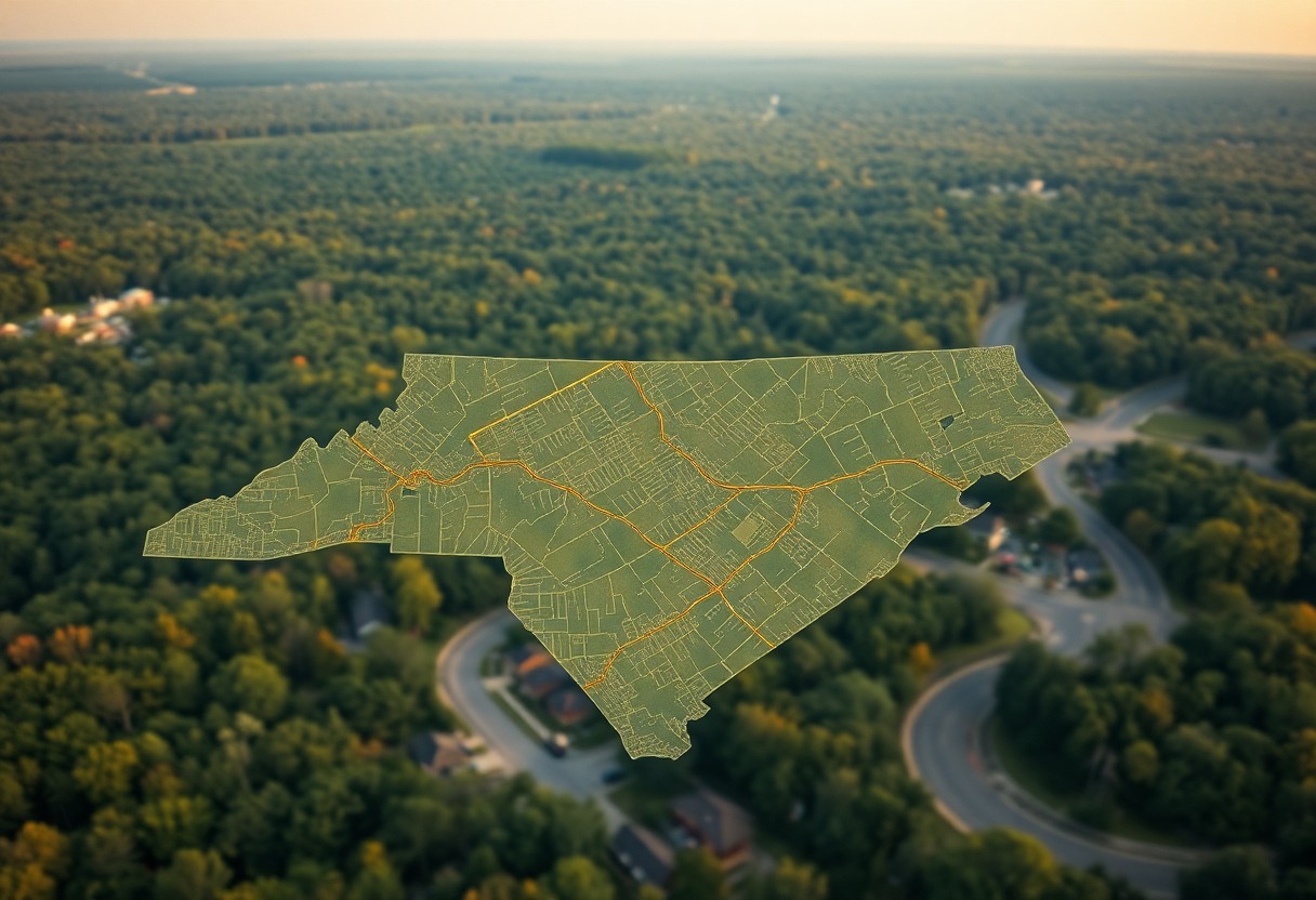
Just when you thought navigating property lines in North Carolina was complicated, GIS mapping tools come to the rescue. These advanced technologies empower you to visualize and comprehend the boundaries of your property with precision. Whether you’re a homeowner, investor, or real estate professional, understanding how to leverage these tools can provide clarity in property Read more