
Tag: GIS
-
How-To Combine Public GIS And Property Lines Apps For Florida Land Insights
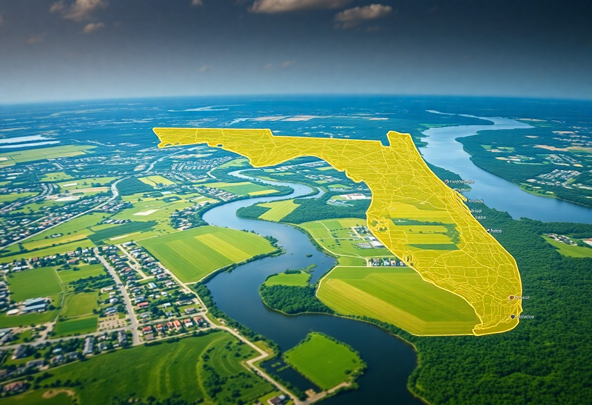
Most landowners and investors in Florida can unlock valuable insights by effectively combining public GIS data with property lines applications. This guide will walk you through the steps to streamline your property research process, empowering you to make informed decisions about land use, purchasing, and development. By leveraging these tools, you can gain a clearer Read more
-
How Do You Compare Similar Polygons In A Parcel Using GIS Tools?

Just as you explore the complexities of land parcels, comparing similar polygons using GIS tools becomes important for effective analysis. By leveraging these powerful tools, you can assess spatial relationships, identify patterns, and make informed decisions regarding land use and development. This guide will walk you through various techniques and GIS software functionalities that enable Read more
-
Search Henderson County Property Lines and Land Records with GIS Tools

It’s crucial to understand how to effectively search for property lines and land records in Henderson County using Geographic Information System (GIS) tools. These powerful online resources can provide you with detailed maps and data, helping you make informed decisions regarding property ownership and management. By utilizing these tools, you can easily access valuable information Read more
-
How Can GIS Mapping Tools Assist In Understanding Property Lines In North Carolina?
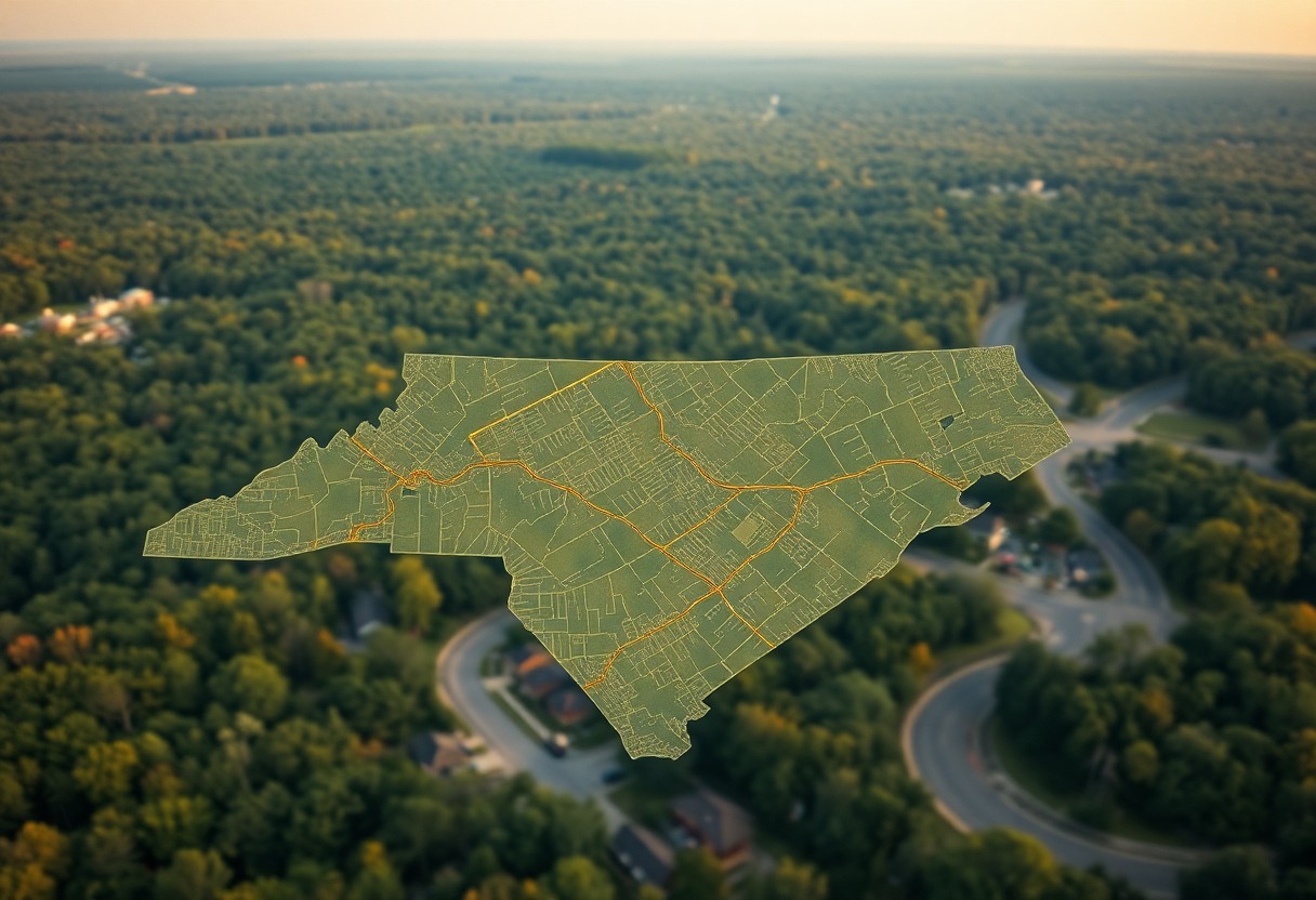
Just when you thought navigating property lines in North Carolina was complicated, GIS mapping tools come to the rescue. These advanced technologies empower you to visualize and comprehend the boundaries of your property with precision. Whether you’re a homeowner, investor, or real estate professional, understanding how to leverage these tools can provide clarity in property Read more
-
GIS property map Florida
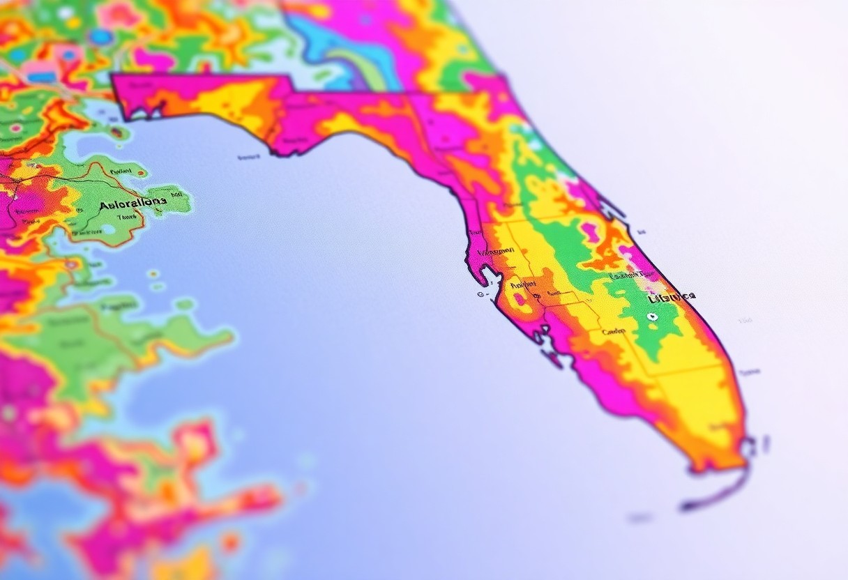
Property mapping in Florida has evolved into a sophisticated tool that can significantly enhance your understanding of land use and real estate. By utilizing Geographic Information Systems (GIS), you can access detailed property maps that provide insights into zoning, parcel boundaries, and geographical features. This resource allows you to make informed decisions regarding buying, selling, Read more