
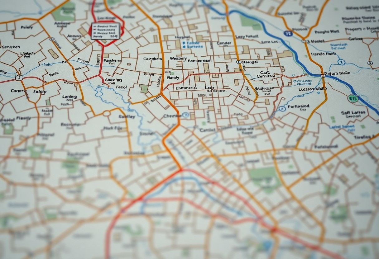
Category: Parcel Boundaries
-
How-To Check Property Boundaries Before You Buy Florida Land
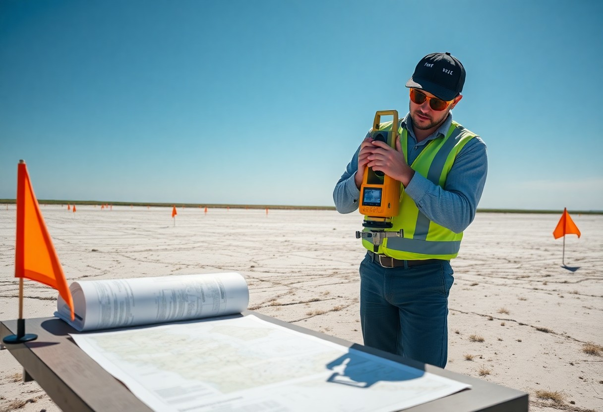
This guide will help you understand the necessary steps to verify property boundaries before purchasing land in Florida. Knowing the exact limits of your potential property can save you from disputes and ensure you make a well-informed investment. You’ll learn about necessary tools and resources, as well as best practices for assessing boundary lines effectively. Read more
-
How Can You Easily Find Property Lines And Parcel Details In Broward County?
Over time, understanding property lines and parcel details has become imperative for homeowners and prospective buyers in Broward County. You can easily access this important information through online resources and county offices, enabling you to make informed decisions regarding your property. By utilizing tools like interactive maps, public records, and county websites, you can determine Read more
-
Which Parcel Coordinates Finder Is Best For Mapping Similar Polygons?
Parcel mapping is imperative for accurately analyzing and comparing land shapes and boundaries. When you need to assess similar polygons, selecting the right coordinates finder can enhance your efficiency and precision. This guide will help you explore the best tools available, enabling you to make informed decisions while ensuring that you achieve accurate results in Read more
-
Can Property Lines And Boundary Maps Be Verified With A Free Coordinates Finder?
Most property owners are often uncertain about the accuracy of their property lines and boundary maps. You may wonder if a free coordinates finder can help validate this information. This post will explore how these tools work, their reliability, and what you should consider when verifying property lines, empowering you to make informed decisions about Read more
-
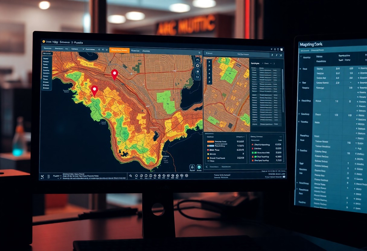
How Do You Compare Similar Polygons In A Parcel Using GIS Tools?
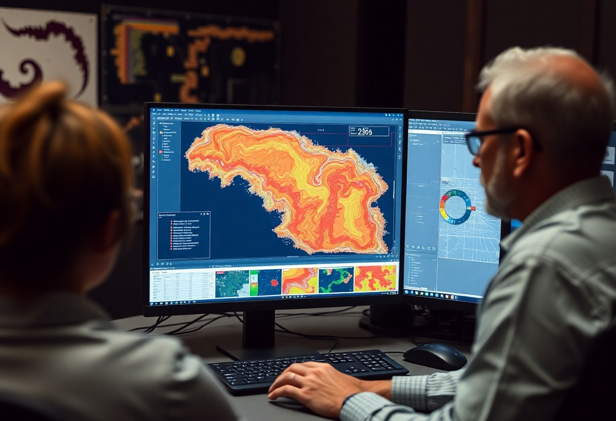
Just as you explore the complexities of land parcels, comparing similar polygons using GIS tools becomes important for effective analysis. By leveraging these powerful tools, you can assess spatial relationships, identify patterns, and make informed decisions regarding land use and development. This guide will walk you through various techniques and GIS software functionalities that enable Read more
-
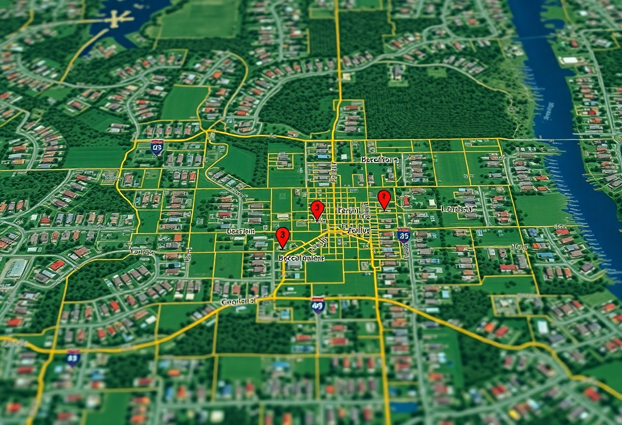
Where Can You Access Property Lines And Parcel Maps With Precise Coordinates?
Just as you need to know your own property boundaries for better planning and development, accessing accurate property lines and parcel maps is important for understanding your land’s dimensions. Various online resources, government websites, and local offices provide detailed maps and precise coordinates that can help you ascertain your property lines. This post will guide Read more
-
How Do Property Lines And Similar Polygons Help In Land Disputes?

Property boundaries play a vital role in defining ownership and resolving land disputes. Understanding how property lines and similar polygons work can empower you to navigate potential conflicts with neighbors or landowners. By utilizing precise measurements and geometric principles, you can clearly establish the limits of your property, helping to prevent misunderstandings and legal issues. Read more
-
Can A Coordinates Finder Accurately Display Parcel Boundaries And Property Lines?
It’s vital to understand how accurately a coordinates finder can display parcel boundaries and property lines. As a property owner or prospective buyer, knowing these boundaries can impact your decisions significantly. This technology often utilizes GPS data and mapping software to provide insights into property limits, but its precision can vary. In this post, you’ll Read more
-
Why Is Checking Similar Polygons In A Parcel Map Important For Planning?
Mapping similar polygons in a parcel map is vital for effective land-use planning. By understanding the characteristics and layout of these polygons, you can make informed decisions about zoning, resource allocation, and development potential. Ensuring compatibility in size and shape among parcels allows you to optimize space management and promote cohesive planning initiatives. This process Read more
-
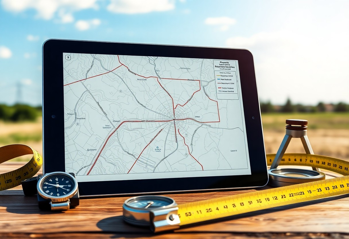
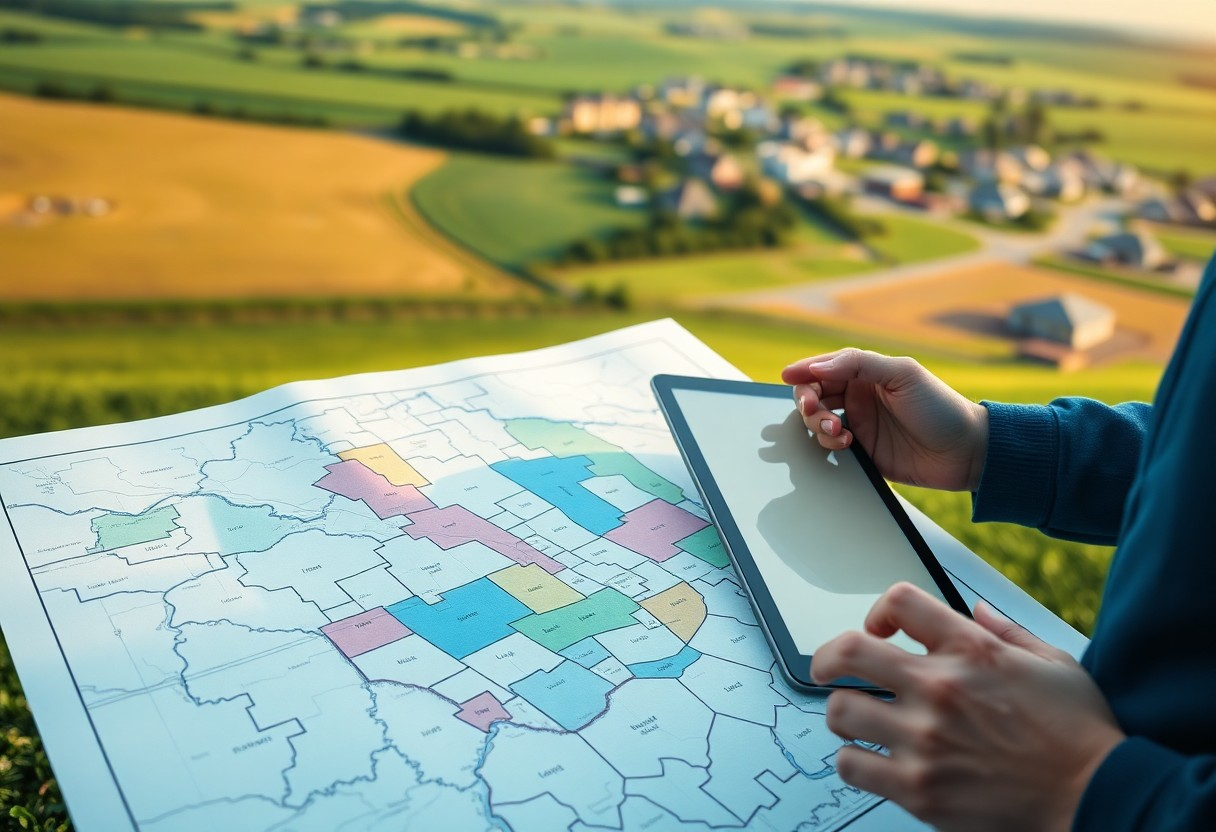
How Do You Overlay Property Lines, Parcel Data, And Coordinates On One Map?
You can effectively overlay property lines, parcel data, and coordinates on one map to enhance your understanding of land boundaries and ownership. By utilizing mapping software and geographic information system (GIS) tools, you can combine various data layers for a comprehensive view. This process allows you to visualize the relationships between different properties, assess land Read more