
Most property research can be made easier with the right tools at your fingertips. In this guide, you will learn how to efficiently navigate Florida parcel maps online to access valuable property data. By mastering these resources, you will empower yourself to make informed decisions and enhance your understanding of real estate in the Sunshine State.
Key Takeaways:
- Access Florida parcel maps through local county property appraiser websites.
- Utilize available search tools by entering property details such as address or parcel number.
- Explore layers on the map for additional information like zoning, land use, and ownership.
- Familiarize yourself with the map navigation tools to efficiently zoom and filter data.
- Check for any available tutorials or guides provided by the county for enhanced navigation.
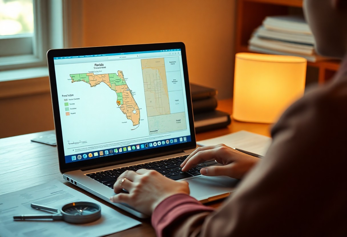
Understanding Florida Parcel Maps
Florida parcel maps serve as imperative tools for property owners, buyers, and real estate professionals, offering a visual representation of land ownership and boundaries across the state. By examining these maps, you can easily identify the specific details of the parcels you are interested in, including dimensions, zoning classifications, and property lines, all neatly outlined for your convenience. Understanding how to read these maps can significantly enhance your property research and decision-making process.
Overview of Parcel Maps
Parcel maps are graphical depictions of land parcels, showing boundaries, ownership, and often the layout of structures. They are utilized by local governments to assist in property assessments and planning. When you access these maps, you will notice how they vary from county to county, reflecting local regulations and land use policies, providing you with specialized insights pertinent to your area of interest.
Importance of Accurate Property Data
Accurate property data is fundamental for informed decision-making in property transactions. It can directly impact your investment choices and potential returns. For instance, knowing the precise zoning and use restrictions of a parcel might influence your development plans or purchasing strategy. Inaccurate data could lead to costly mistakes, whether it’s an erroneous assumption about buildable land or undetected easements that affect property use.
Investing in property without a firm grasp of accurate data can result in significant financial implications. For example, a misunderstanding of property boundaries may lead to disputes with neighbors, while misinterpreting zoning regulations could stifle your development plans or limit property utilization. Being proactive in verifying data not only mitigates risks but also positions you for strategic advantages in real estate ventures. Utilize local resources effectively, like county property appraiser websites, to ensure you are working with the most current and precise information. Your thorough diligence will pay off in the long run, both financially and in peace of mind.
How to Access Parcel Maps Online
Navigating Florida’s parcel maps online starts with identifying the appropriate local resource. Most counties provide digital access via their property appraiser websites, allowing you to easily search for parcel information. Simply enter relevant details such as the property address, owner’s name, or parcel number to locate and view the specific map you need for your research.
Utilizing Local Government Websites
Your first stop should be the local government websites that host property appraiser information. These sites typically offer extensive databases with detailed parcel maps, assessments, and ownership information. By entering property specifics, you can swiftly view and analyze crucial data that supports your research.
Third-Party Mapping Services
Third-party mapping services provide alternative access to Florida parcel maps, offering enhanced features and user-friendly interfaces. Websites like Zillow and Realtor.com incorporate parcel data into their property listings, often displaying boundary lines and zoning information for properties. These platforms aggregate public records, enabling you to explore broader real estate trends and access additional resources that further assist in your property research.
Using third-party mapping services can save you time and enhance your property analysis. For example, platforms such as LandGlide allow users to track property boundaries and access real-time data, including ownership and tax information. This can be especially helpful when comparing multiple properties or understanding market dynamics in various neighborhoods. They often include tools for measuring land sizes and assessing proximity to amenities, making them valuable resources for both investors and homebuyers alike.
Navigation Tips for Effective Searching
To optimize your search for property data, employing specific strategies can enhance your navigation experience. Start by familiarizing yourself with the site layout, as this can save you considerable time. Pay attention to the following:
- Use the zoom function for detailed views.
- Check for tutorials on the website.
- Bookmark important pages for future reference.
- Utilize the map legend for interpreting symbols accurately.
Thou shall explore the various tools available to streamline your property search.
Using Keywords and Filters
Your efficiency in searching parcel maps can greatly improve by using targeted keywords and filters. When entering your queries, input descriptive terms like “residential” or “commercial” alongside filter options for zoning or land use. This tailored approach reduces time spent sifting through irrelevant data, allowing you to locate specific properties that align with your requirements.
Understanding Map Layers and Features
Grasping the available map layers and features is vital for interpreting property data effectively. Each layer displays distinct information such as ownership boundaries, tax assessments, and zoning classifications. By toggling these layers on and off, you can visualize properties more comprehensively and understand the surrounding area better, leading to more informed decisions. Take advantage of features like overlay comparison tools to analyze changes over time, which is especially useful for investment considerations. The more layers you explore, the clearer your understanding becomes, enhancing your overall experience with Florida’s parcel maps.
Key Factors to Consider When Analyzing Data
When delving into property data, there are several key factors to analyze for a comprehensive understanding. These elements include property boundaries, zoning classifications, recent sales data, and property assessments. Each factor provides valuable insights that can impact your investment decisions.
- Property boundaries define ownership and land limits.
- Zoning regulations affect potential uses and developments.
- Recent sales help gauge market trends and values.
- Property assessments provide insight into tax obligations and property worth.
The analysis of these factors allows you to gauge market dynamics effectively.
Property Boundaries and Zoning
Understanding property boundaries is vital for evaluating land ownership and potential development opportunities. Zoning regulations dictate what activities are permissible on the property. For instance, residential zones may have restrictions on commercial usage while mixed-use zones can allow for varied developments. These parameters impact how you might utilize the property and its overall value in the real estate market.
Recent Sales and Property Assessments
Examining recent sales data helps you understand market trends and property valuation in your chosen area. Sales figures can give insights into how comparable properties have performed, informing your investment strategy. Coupled with property assessments, which are determined by local tax authorities, you gain a clearer picture of a property’s value and potential return on investment.
For instance, comparing the sale prices of similar properties in the same neighborhood over the last six months can reveal trends such as rising or declining values. If a property assessment indicates consistent value but recent sales show depreciation, further investigation into local market conditions or property specifics may be warranted. This analysis can guide your purchasing decisions and negotiation strategies effectively.
Common Pitfalls to Avoid
When navigating Florida parcel maps online, it’s vital to be aware of common pitfalls that can lead to inaccurate conclusions. Paying close attention to detail can save you from costly mistakes and misinformed decisions. Avoid these common errors to ensure that your property research is thorough and accurate.
Misinterpreting Map Information
Interpreting map information can be challenging. Be cautious of the symbols and colors used, as they can convey different meanings. For example, a shaded area may indicate a conservation zone rather than a buildable lot. Always cross-check with the provided legend and resources to validate your findings.
Relying on Outdated Data
Using outdated data can skew your understanding of a property’s current status. Parcel maps and associated information frequently change due to new developments, zoning laws, or property sales. Relying on old data may lead you to make errant assessments or unfavorable investments.
Property ownership and zoning regulations can evolve rapidly, sometimes within a matter of months or even weeks. For instance, a parcel listed as residential in one year might transition to commercial use the next, affecting its value and potential. It’s vital to confirm the date of the data you’re analyzing and consult recent updates or local property records for the most accurate information. Engaging with local planning departments or utilizing up-to-date resources will help ensure your research reflects the current landscape.
Additional Resources for Property Data
Exploring supplementary resources can greatly enhance your ability to access and understand property data in Florida. Numerous platforms and tools provide valuable information that complements parcel maps, allowing you to conduct thorough research and make informed decisions.
Local GIS Offices
Your local Geographic Information Systems (GIS) office serves as a key resource for detailed property data. You can visit these offices or their websites to access a wealth of information, including zoning regulations, land use, and property assessments. Often, they offer public access to interactive maps and GIS data layers specific to your area.
Online Property Databases
Numerous online property databases aggregate public records, making it easy to search for property information. Websites such as Zillow, Realtor.com, and county tax collector portals provide comprehensive data, including sale history, property tax assessments, and neighborhood statistics. By using these platforms, you can perform detailed property searches and view additional property insights beyond what parcel maps offer.
For instance, Zillow not only lists properties for sale but also provides historical pricing, tax assessments, and neighborhood information, allowing you to evaluate potential investments. These databases often feature user-friendly interfaces, enabling you to filter searches by price, location, and property type. Many sites also include property photos, market trends, and school district ratings, giving you a well-rounded view of the real estate landscape.
Summing up
With these considerations, navigating Florida parcel maps online becomes an efficient process for you. By applying the techniques discussed, you can quickly locate property data that meets your needs. Understanding the tools and resources available will empower you to make informed decisions, streamline your property searches, and optimize your investment opportunities in Florida’s real estate market.
FAQ
Q: What are Florida parcel maps?
A: Florida parcel maps are digital representations of land parcels in Florida, showing boundaries, ownership, zoning information, and property details.
Q: How can I access Florida parcel maps online?
A: You can access Florida parcel maps by visiting the official property appraiser’s website for your county, where interactive maps are available for public use.
Q: What information can I find on Florida parcel maps?
A: Florida parcel maps provide information such as property boundaries, ownership details, assessed value, zoning classifications, and sales history.
Q: How can I search for a specific property on a parcel map?
A: To search for a specific property, enter the property’s address, parcel number, or owner’s name in the search field on the parcel map website to locate the desired map.
Q: Are there any fees associated with accessing Florida parcel maps online?
A: Most county websites provide free access to parcel maps; however, additional services or detailed reports may incur fees depending on the county’s policy.