
Over time, understanding property lines and parcel details has become imperative for homeowners and prospective buyers in Broward County. You can easily access this important information through online resources and county offices, enabling you to make informed decisions regarding your property. By utilizing tools like interactive maps, public records, and county websites, you can determine your property’s boundaries and relevant details swiftly and accurately. This post will guide you through the steps to locate and interpret your property information effectively.
Navigating Government Resources for Property Information
Government resources offer valuable tools for locating property lines and detailed parcel information. Various County departments maintain databases and mapping systems that empower you to access crucial information efficiently. These resources are user-friendly and designed to assist both property owners and potential buyers in understanding land ownership, zoning, and property boundaries in Broward County.
Broward County Property Appraiser’s Database
The Broward County Property Appraiser’s Database provides online access to property records, allowing you to search by address, owner name, or parcel number. This database includes key information such as assessed values, property tax data, and ownership history. By using this resource, you can acquire a comprehensive understanding of any property’s details in a matter of minutes.
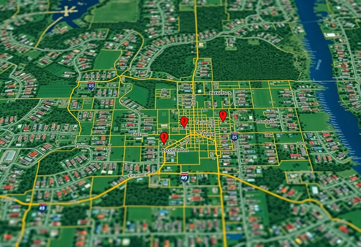
Accessing the Online GIS Mapping Tool
The Online GIS Mapping Tool is an crucial resource for visualizing property lines and boundaries in Broward County. This interactive platform allows you to zoom in on specific areas, overlay property lines, and view zoning classifications. With various layers of information available, you can easily evaluate land use and other vital information that impacts your property or prospective investments.
The Online GIS Mapping Tool combines a user-friendly interface with powerful mapping capabilities. You can filter by various criteria, such as flood zones, school districts, and municipal boundaries. Additionally, the tool offers aerial imagery, giving you a comprehensive view of the land and its surroundings. This can aid in making informed decisions regarding property purchases or improvements. By exploring this resource, you gain access to invaluable insights about the local real estate landscape.
The Role of Surveys in Defining Property Lines
Surveys are important in establishing accurate property lines and defining ownership boundaries. Professional surveyors use specialized equipment and techniques, such as GPS technology and boundary retracement, to create precise maps that depict property limits. These documents offer you a clear understanding of your property’s dimensions and any encroachments from neighboring properties. Surveys also provide legal descriptions of your land, which can be crucial in resolving disputes and confirming claims over property ownership.
Importance of Hiring a Professional Surveyor
Engaging a qualified surveyor ensures you receive accurate and reliable measurements of your property lines. Professional surveyors possess extensive knowledge of local regulations, zoning laws, and land development standards. Their expertise minimizes the risk of errors that could lead to costly disputes or misinterpretations of your property boundaries. A licensed surveyor’s report can also support your case in legal situations, providing a solid foundation for any claims regarding land use or ownership.
Interpreting Survey Results for Accurate Boundaries
Understanding survey results is vital for accurately delineating your property lines. Survey maps typically include detailed notations on measurements, angles, and landmarks, all of which help you visualize the layout of your land. Familiarizing yourself with the terminology and symbols used in the survey allows you to identify potential issues or discrepancies. Moreover, knowing how to correlate these findings with local property records can verify that your understanding and any intended developments align with the actual land specifications.
Interpreting survey results requires careful examination of various elements included in the documentation. For example, a boundary survey might display not only your property lines but also easements, encroachments, and adjacent land features. Analyzing these aspects helps you recognize any limitations or obligations related to your property. Additionally, working with a professional can clarify complex details, ensuring you’re well-informed about your boundaries and can confidently navigate any related challenges or decisions.
Utilizing Online Services for Parcel Research
Online services streamline the process of discovering property lines and parcel details in Broward County. Numerous websites and platforms compile public data, making it accessible and easy to navigate. By entering basic information, you can retrieve maps, ownership details, and zoning classifications without the need for a physical visit to government offices.
Popular Real Estate Platforms
Websites like Zillow, Realtor.com, and Redfin provide not only property listings but also parcel details and estimated property lines. You can filter by specific criteria to narrow your search and instantly compare properties within your chosen area. These platforms often include user-friendly maps, helping you visualize boundaries more effectively.
Specialized Tools for Land Information
Tools such as GIS (Geographic Information Systems) applications and dedicated parcel mapping websites offer comprehensive details about land ownership, property dimensions, and neighboring parcels. Utilizing these platforms gives you access to in-depth reports and interactive maps tailored for land research.
One effective tool is Broward County’s Property Appraiser’s website, which features interactive GIS mapping. It allows you to view property lines, flood zones, and zoning details with ease. You can search by address or parcel number, making it convenient to obtain precise information. Another valuable resource is Landgrid, which offers parcel maps and land data across the U.S., enabling you to analyze property details and assess land usage trends effectively.
Legal Considerations and Property Line Disputes
Property line disputes can arise from ambiguous boundaries, changes in land use, or misinterpretations of surveys. These issues often lead to conflicts between neighbors, potentially resulting in costly legal battles. Understanding the law in Broward County regarding property lines helps you navigate disputes and protect your ownership rights effectively.
Understanding Your Rights as a Property Owner
You hold specific rights as a property owner in Broward County, which include the right to exclusive use, enjoyment, and access to your property. Familiarizing yourself with the local zoning laws and property regulations ensures you can exercise these rights fully while minimizing the risk of encroachment or illegal land use by others.
Common Legal Issues and How to Resolve Them
Property line disputes often stem from fencing misunderstandings, tree encroachments, or differing survey interpretations. Resolving these conflicts typically involves direct negotiation with neighbors, mediation services, or hiring professional surveyors. Legal action may be considered if informal resolutions fail, with local courts offering guidance on property rights and boundary definitions.
Common legal issues related to property lines can escalate quickly, especially if unresolved. If a neighbor builds a fence encroaching on your land or if trees from either side create a dispute, addressing the matter promptly can lead to better outcomes. Gathering documentation, such as surveys or even past correspondence with the neighbor, eases discussions. Mediation is often a cost-effective initial step to resolving disputes amicably, allowing both parties to come to terms without entering a lengthy court process. Legal advice may also be beneficial to navigate complicated situations effectively.
Engaging with Local Authorities and Neighborhood Resources
Interacting with local authorities and utilizing neighborhood resources can enhance your understanding of property lines and parcel details in Broward County. Local agencies often have updated maps, zoning information, and can assist in clarifying any questions regarding land use and restrictions. Furthermore, local organizations can provide context on property history and neighborhood dynamics, offering a broader perspective on your property investments.
Connecting with Local Planning and Zoning Departments
Your first step should be to contact the Broward County Planning and Development Management Division. They can provide information about land use plans, zoning restrictions, and specific parcel details, including economic development initiatives. This department also maintains records of property assessments and permits that can help clarify any uncertainties about your property boundaries.
Leveraging Community Resources for Additional Insights
Neighborhood associations and local community groups serve as excellent resources for learning about property lines and zoning issues. Connecting with these groups allows you to tap into shared knowledge and experiences from fellow residents who may have navigated similar queries regarding property details and local regulations.
Engaging with a neighborhood association can also provide insights into the history of the area, including any long-standing disputes about property lines or changes in zoning regulations. Many associations maintain detailed records and maps that could be invaluable. Additionally, attending local meetings or events fosters relationships with neighbors who may offer personal anecdotes and useful advice based on their experiences with local zoning laws and property matters. Utilizing these connections can save time and lead to informed decision-making regarding your property.
To wrap up
Summing up, finding property lines and parcel details in Broward County is straightforward when you utilize the online resources available through the county’s website, including the Property Appraiser’s office and the Geographic Information System (GIS). You can easily access maps, tax information, and legal descriptions to better understand your property boundaries. Additionally, consulting local surveyors can provide precise measurements and insights specific to your property. Armed with these tools, you can confidently navigate your property’s details and enhance your overall understanding of your land.